Wildfires cause significant ecological damage, economic loss, and endanger lives every year across the globe. With climate change, drought, and human activities intensifying, the frequency and severity of wildfires continue to rise, posing a considerable threat to the environment and human society.
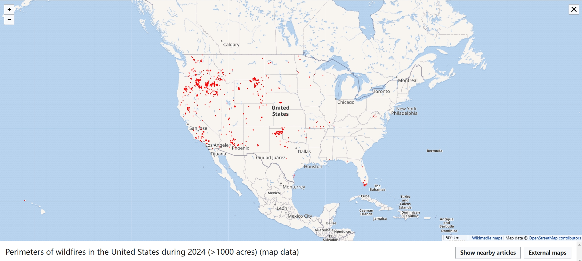
During 2024, the wildfires burned more than 1,000 acres in United States, produced significant structural damage or casualties.
And it’s happening now that the Los Angeles wildfire is burning down more than 9000 structures and $75 billion in property damage
To effectively address this challenge, the introduction of drone technology has provided a new solution for the prevention and management of wildfires.
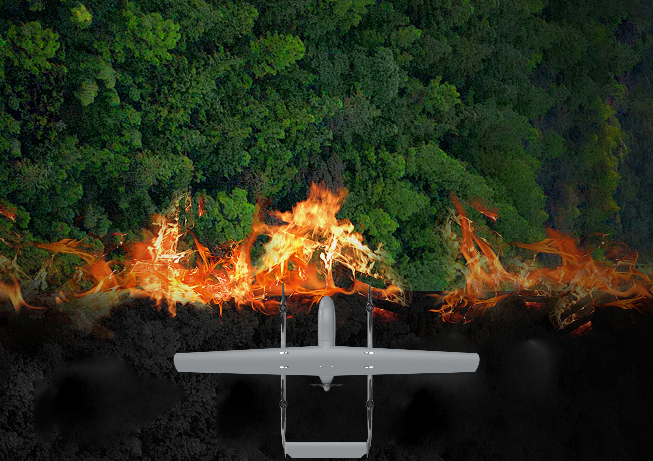
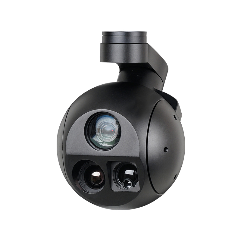
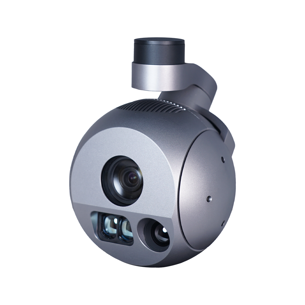
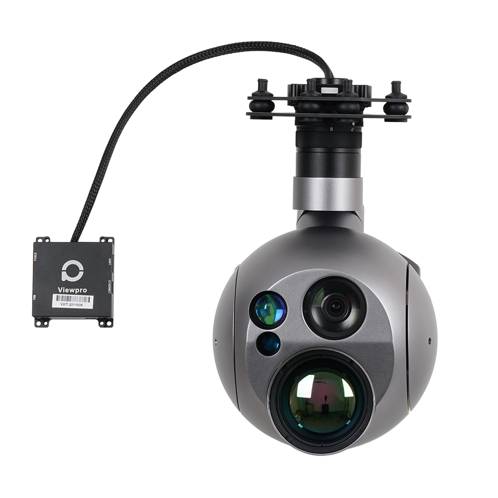
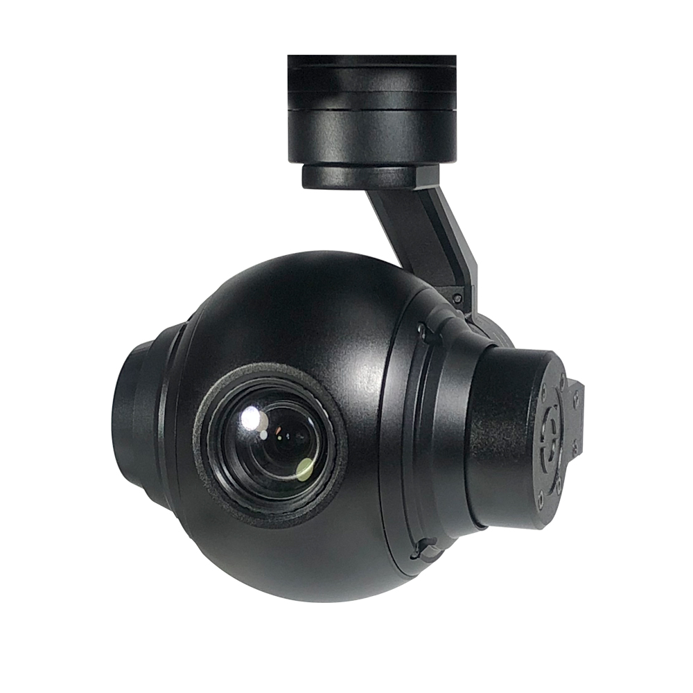
The use of drones has made it possible to monitor wildfires in real time and provide early warnings. Equipped with high-resolution cameras, thermal imaging sensors, and other advanced devices, firefighting drones (or UAVs) can perform real-time monitoring over vast forest areas, promptly identifying fire hazards.
1. Real-Time Monitoring and Data Collection
Wildfire drones are equipped with sensors that can quickly gather a large amount of environmental data, including temperature, humidity, wind speed, and soil moisture content. This data helps assess fire risks and assists management personnel in formulating appropriate preventive measures. By conducting regular flight monitoring, management departments can establish a database of forest health, promptly detecting pests, dead trees, and other factors that could lead to fire outbreaks.
2. Fire Warning and Response
With the real-time images and data provided by UAV fire fighting technology, firefighting departments can swiftly identify the location and extent of a fire outbreak, thereby reducing response time and increasing the success rate of fire extinguishment. Firefighting drones can quickly relay on-site conditions to command centers right after a fire ignites, ensuring that decision-makers can promptly develop effective firefighting strategies.
3. Risk Assessment and Management Decision-Making
Before a fire occurs, firefighting drones can monitor forest areas to assess fire risks, aiding managers in developing more scientifically-based fire prevention strategies. This data-driven decision-making process can significantly enhance the effectiveness of fire prevention efforts and ensure resources are allocated appropriately.
Advantages of Drones in Wildfire Prevention
Drones possess several advantages that make them essential tools in wildfire management:
1. High Efficiency and Cost-Effectiveness
Drones can quickly cover large forest areas, reducing the need for human patrols. This not only improves monitoring efficiency but also lowers operational costs. Traditional forest monitoring often requires substantial manpower and resources, while the use of drones makes this process more efficient and economical. By using wildfire drones for inspections, extensive monitoring work can be completed in a short amount of time.
2. Increased Safety
By utilizing drones for monitoring, personnel can avoid entering potentially hazardous areas. When a fire occurs, firefighters face certain risks by entering the scene for assessment and extinguishment, while drones can acquire critical information without interfering with firefighters, ensuring their safety. Additionally, UAV fire fighting technology can evaluate the spread of fire, ensuring that the measures taken by firefighters are effective in combating the blaze.
3. Flexibility and Adaptability
Drones can operate under various conditions, including complex terrains and adverse weather. This flexibility enables them to perform exceptionally well in both fire prevention and response scenarios. The flight altitude and path of drones can be adjusted as needed, allowing them to function effectively even amidst dense smoke or low visibility conditions.
4. Data Analysis and Intelligent Decision-Making
Drones are equipped with advanced artificial intelligence and data analysis software that can analyze the collected data in real time. Through machine learning algorithms, drones can identify potential fire risk areas and automatically generate risk assessment reports, providing scientific evidence for management personnel. This intelligent decision-support system is crucial in fire management.
Specific Applications of Drones in Wildfire Management
Drones have several specific applications in the management of wildfires:
1. Fire Monitoring and Early Warning Systems
Drones can regularly conduct flight monitoring, capturing images of forest conditions and using thermal imaging technology to detect temperature anomalies, thus providing warnings for potential fire risks. By integrating artificial intelligence technology, drones can analyze data and predict the likelihood of fire occurrences. When combined with data from ground monitoring stations and meteorological stations, drones can offer comprehensive fire warning services.
2. On-Site Fire Assessment
After a fire occurs, drones can quickly fly to the scene, gathering real-time images and assessing the scale and impact of the fire. This information is vital for formulating firefighting strategies and resource allocation. The high-resolution images and thermal data from drones enable commanders to understand the development of fire conditions, the location of the fire source, and the surrounding environment, ensuring the measures implemented can effectively extinguish the flames.
3. Post-Fire Assessment and Recovery
Once a fire has been extinguished, drones can assist in assessing the ecological impact of the fire, documenting the state of affected areas, and providing support for subsequent recovery efforts. Drones can create detailed maps of damaged areas using high-resolution photography and 3D modeling technology, helping ecological restoration teams devise recovery plans to ensure the ecosystem in affected areas can be restored as quickly as possible.
4. Education and Public Awareness
Drones can also be used for educational and publicity efforts, helping to raise public awareness and prevention consciousness regarding forest fires. By capturing and documenting the impacts of fire, drones can produce promotional videos and educational materials to enhance the public’s environmental protection awareness and encourage community participation in forest fire prevention efforts.
Can Drones Do What Firemen Do?
While drones cannot replace firefighters in extinguishing fires, they can significantly enhance fire management efforts. Firefighters are indispensable for executing direct firefighting actions, but drones provide critical support in terms of real-time data, risk assessment, and coverage of hard-to-reach areas. Firefighting drones can be deployed to gather intelligence that informs firefighting strategies, making them a valuable complement to traditional firefighting efforts.
The role of drones in wildfire prevention is becoming increasingly vital. Through real-time monitoring, data collection, and fire warning systems, drones not only enhance the efficiency and safety of forest fire management but also provide strong support for environmental protection and ecological restoration. With the continued advancement of drone technology, we have every reason to believe that drones will play an even more significant role in the future of forest fire prevention and management. By integrating drones with traditional forest management methods, we can achieve a more scientific and efficient fire prevention system, contributing to the protection of forest resources and the ecological environment.
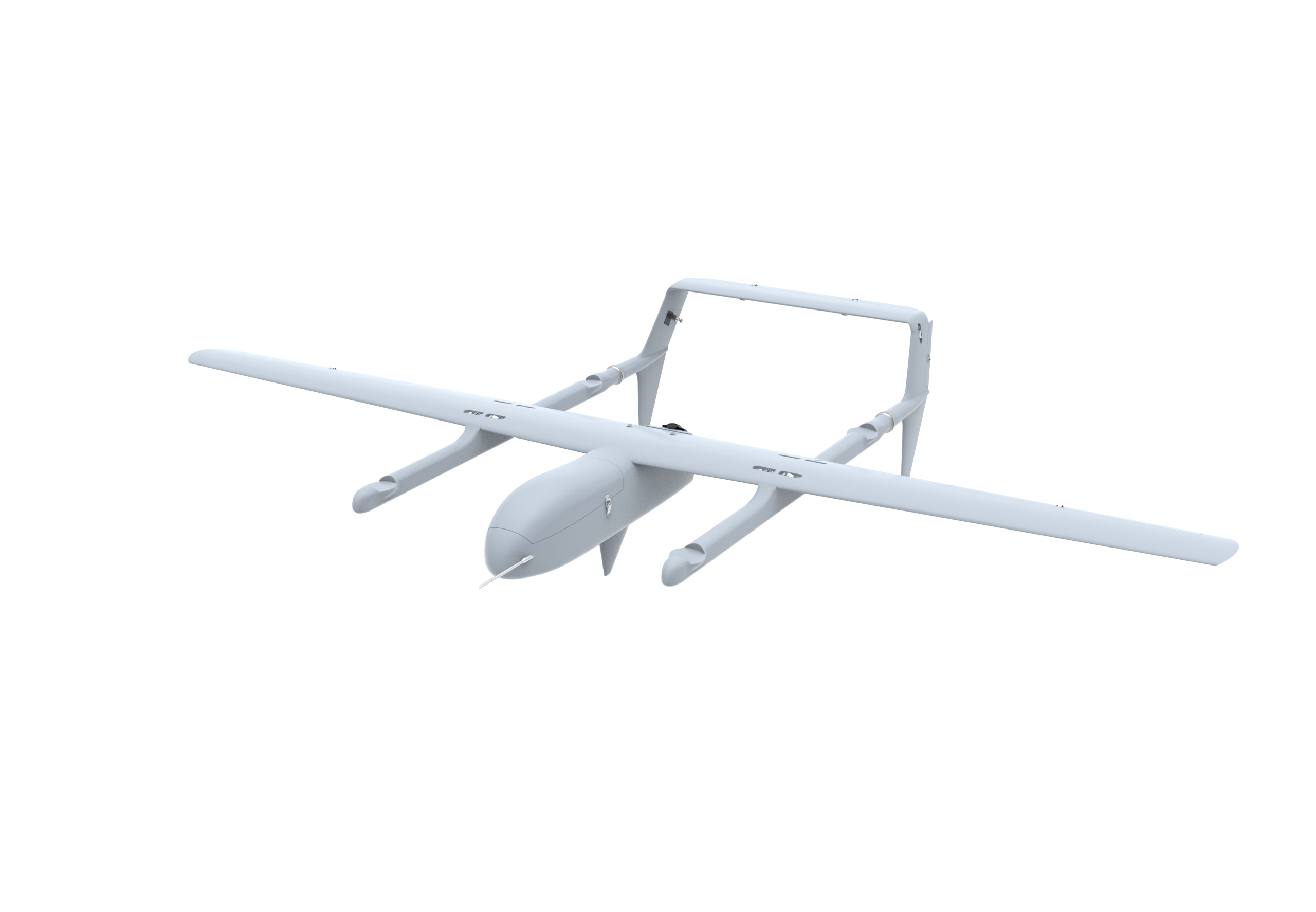
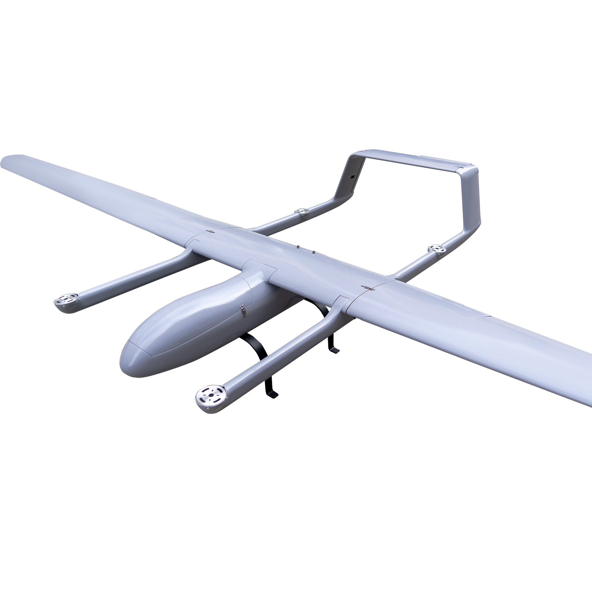
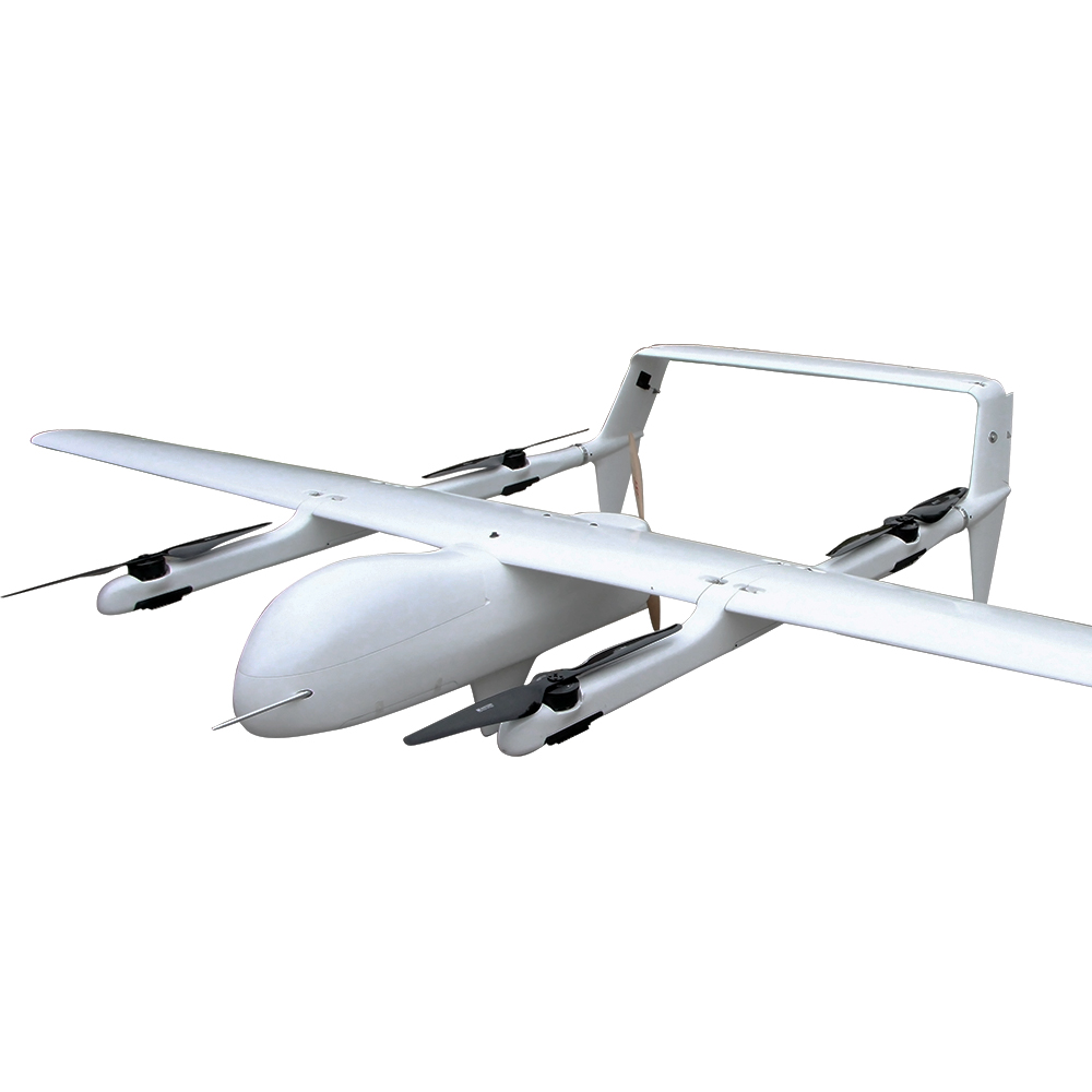
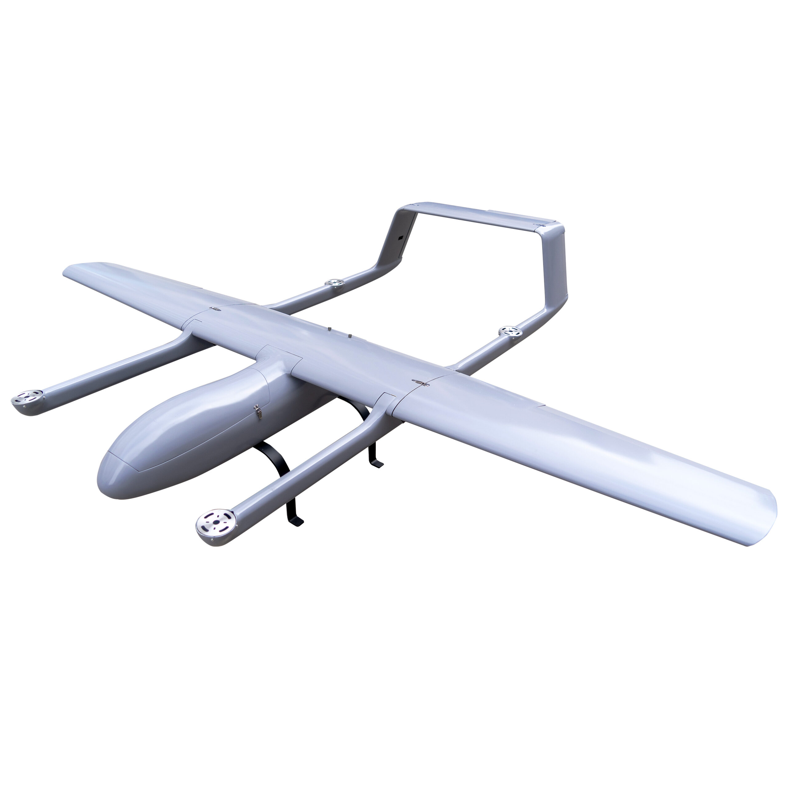
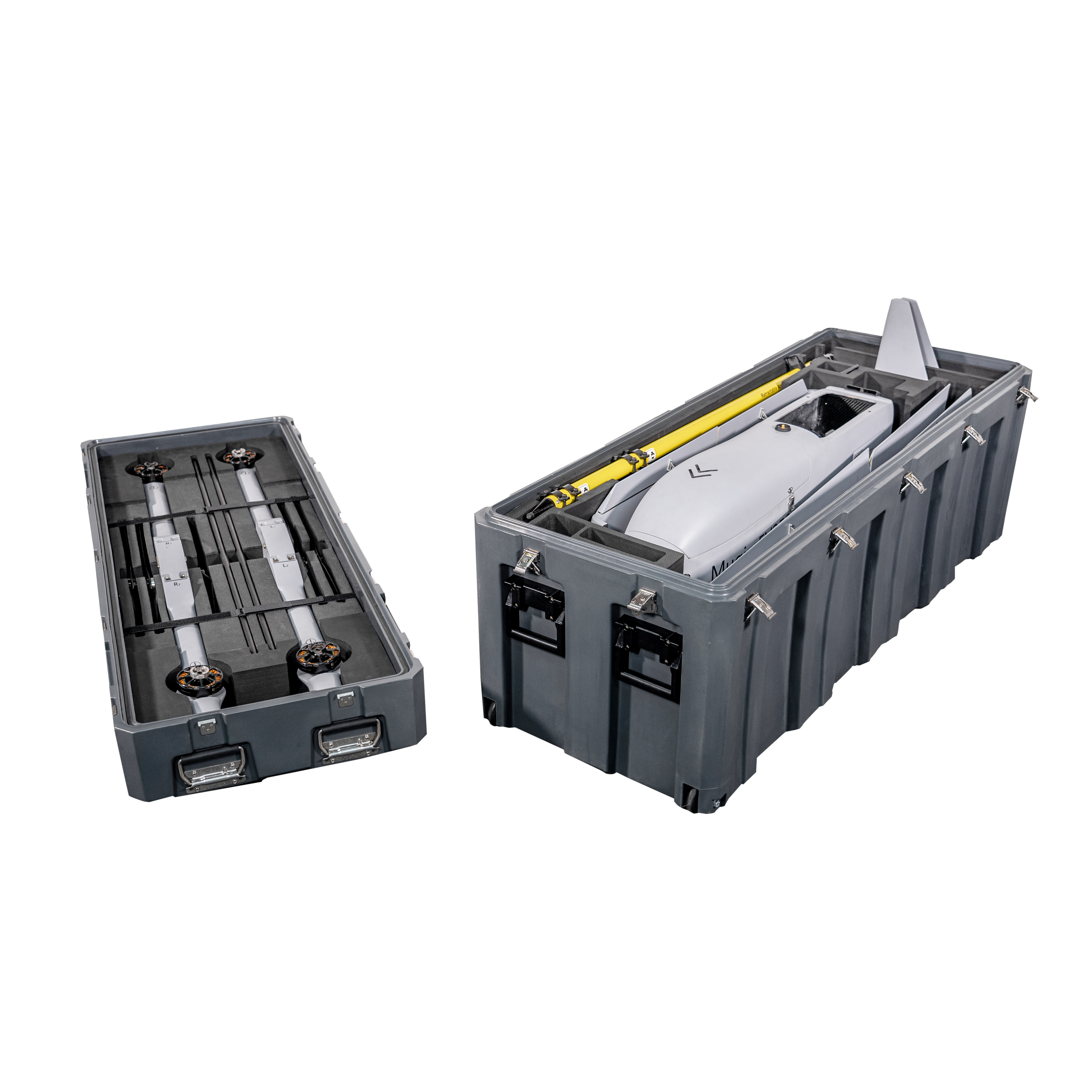
MUGIN EV350 VTOL – One of the best Firefighting Drones
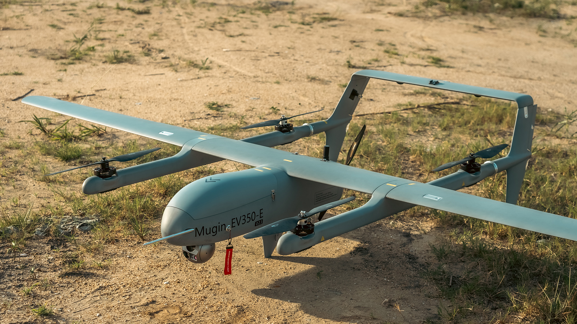
Mugin EV350 is a long range full electric VTOL drone, which is an autonomous drone designed for different applications.
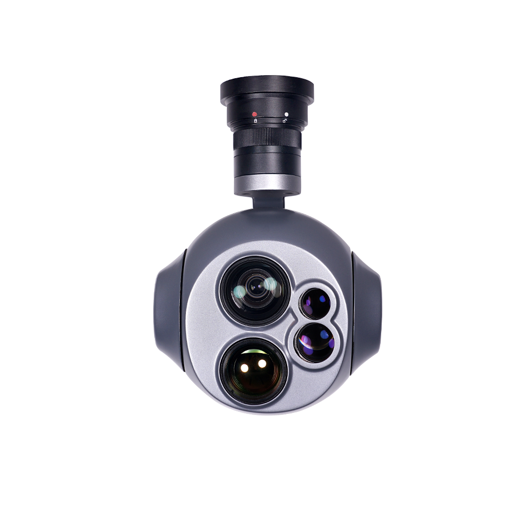
EV350 offers a battery life of 120 minutes and a 130km flight range. It has a cruising speed of 24m/s for quick emergency response. Equipped with a triple sensor 40x zoom AI gimbal camera, it helps locate and assess fire points.
•130km flight range
•120 minutes flight time
•24m/s cruising speed
•50km/80km transmission and control range
•2kg payload capability
•Triple sensor 40x zoom AI camera
•Grade 6 wind resistance

